CrossLoc3D: Aerial-Ground Cross-Source 3D Place Recognition
ICCV 2023
Project Page / GitHub / arXiv / Poster / Video
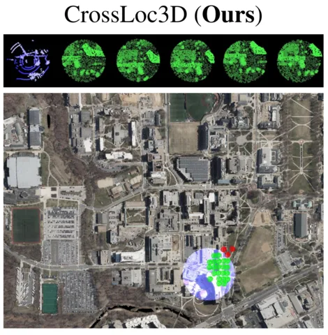
First, we present a cross-source point cloud dataset, which consists of ground-truth global point clouds in UTM coordinates generated from an aerial map, and query point clouds captured from Spot and Husky robots. Second, we show a novel architecture to localize the query point cloud in the ground-truth point cloud.